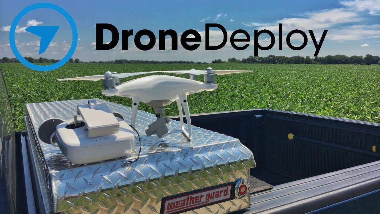
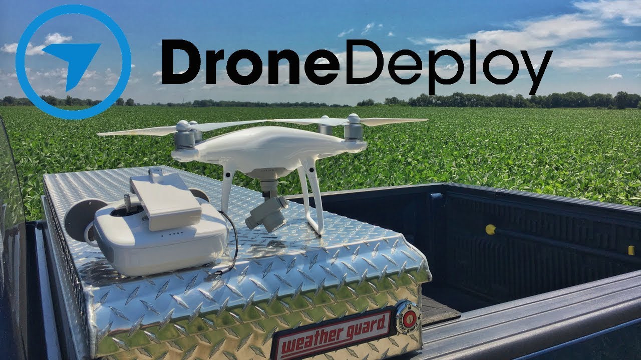
How to use drone deploy – How to use DroneDeploy? It’s easier than you think! This guide walks you through everything from setting up your account and planning your flights to processing data and creating stunning maps. We’ll cover connecting your drone, mastering flight planning tools, troubleshooting common issues, and even exploring advanced features like 3D modeling and data integration. Get ready to unlock the power of aerial data!
Whether you’re a seasoned drone pilot or just starting out, DroneDeploy simplifies the entire process, from pre-flight planning to post-flight analysis. We’ll demystify the software, providing clear, step-by-step instructions and practical tips to help you get the most out of your drone missions. Let’s dive in!
Getting Started with DroneDeploy
DroneDeploy simplifies drone data capture and analysis. This section covers account creation, drone connection, and understanding the different subscription plans.
DroneDeploy Plans and Features
DroneDeploy offers various plans catering to different needs and budgets. Basic plans provide core functionality, while enterprise plans offer advanced features and support. Key differences usually include data storage limits, processing capabilities, and the number of users allowed. Check the DroneDeploy website for the most up-to-date pricing and features.
Creating a DroneDeploy Account and Email Verification
- Visit the DroneDeploy website and click “Sign Up”.
- Enter your email address and create a password.
- Check your inbox for a verification email from DroneDeploy and click the verification link.
- Complete your profile information, including your name and organization.
Connecting Your Drone to the DroneDeploy App
Connecting your drone depends on the drone model. Generally, you’ll need to download the DroneDeploy mobile app, create a flight plan within the app, and then authorize the app to connect to your drone via Bluetooth or Wi-Fi. The specific steps may vary slightly depending on your drone’s manufacturer and model. Refer to DroneDeploy’s support documentation for detailed instructions for your specific drone.
Planning Your Drone Flight
Careful flight planning ensures efficient data collection and avoids issues. This section covers creating flight plans, defining boundaries, and understanding different flight modes.
Designing a Flight Plan
Use DroneDeploy’s mapping tools to define your flight area. Specify altitude, overlap (typically 70-80% for sidelap and 60-70% for frontlap to ensure good image stitching), and camera settings. Consider wind conditions and adjust your flight parameters accordingly. Strong winds can affect image quality and drone stability.
Defining Flight Boundaries and Obstacle Avoidance
Clearly define the boundaries of your flight area to prevent accidental trespassing or collisions. Use DroneDeploy’s tools to mark obstacles such as buildings, trees, or power lines. DroneDeploy will automatically plan a flight path that avoids these obstacles. Always visually inspect the area before flight to identify any potential hazards not captured on the map.
DroneDeploy Flight Modes Comparison
| Flight Mode | Description | Pros | Cons |
|---|---|---|---|
| Auto Flight | Fully automated flight based on pre-defined parameters. | Efficient, consistent data capture. | Requires careful planning; less adaptable to unexpected conditions. |
| Manual Flight | Pilot controls the drone manually. | Greater flexibility; adaptable to changing conditions. | Requires experienced pilot; potential for inconsistencies in data capture. |
| Mapping Flight | Optimized for creating orthomosaics and 3D models. | Efficient data acquisition for mapping applications. | Less flexible than manual flight. |
| Inspection Flight | Designed for detailed inspection of structures or assets. | Allows for close-range imaging and detailed data capture. | May require more time and effort than mapping flights. |
Executing the Drone Flight
This section details pre-flight checks, initiating and stopping flights, and troubleshooting common issues.
Pre-Flight Checks and Procedures

- Inspect your drone for any damage.
- Ensure your drone’s battery is fully charged.
- Check weather conditions and ensure they are suitable for flight.
- Verify that your drone is connected to the DroneDeploy app and that the flight plan is correct.
- Obtain any necessary permissions or approvals for flying in the designated area.
Starting and Stopping a Flight Mission
Once pre-flight checks are complete, initiate the flight mission through the DroneDeploy app. The app will guide you through the process. To stop the mission, use the app’s designated stop function. Never attempt to manually interrupt the flight unless absolutely necessary for safety reasons.
Troubleshooting Common Issues

Common issues include connection problems (check Wi-Fi/Bluetooth signal strength and drone connectivity), low battery warnings (land immediately and replace battery), and GPS signal loss (find a location with a clear view of the sky). DroneDeploy’s app usually provides alerts and guidance on resolving these issues.
Processing and Analyzing Data
DroneDeploy offers various data processing options. This section explains these options, processing times, and data export.
Data Processing Options
DroneDeploy typically offers different processing levels, ranging from basic orthomosaics to high-resolution 3D models and point clouds. Higher processing levels generally provide more detailed and accurate data but require longer processing times.
Processing Times and Quality
Processing times vary depending on the data size, processing level selected, and server load. Higher-resolution processing takes longer but yields superior results. DroneDeploy usually provides estimated processing times. The quality of the processed data is affected by factors like weather conditions, flight parameters, and the quality of the drone’s camera.
Downloading and Exporting Processed Data
- Once processing is complete, log into your DroneDeploy account.
- Locate the processed data for your flight mission.
- Select the desired data format (e.g., orthomosaic, 3D model, point cloud).
- Download the data to your computer.
Creating Maps and Reports
DroneDeploy facilitates map creation and report generation. This section covers report creation, map customization, and map types.
Sample Report Creation
DroneDeploy’s reporting tools allow you to generate reports including measurements, annotations, and visual data. For instance, on a construction site, a report could show progress against a schedule, highlighting areas needing attention. In agriculture, a report might show areas of low crop health requiring targeted intervention. The reports can include images, measurements, and other relevant data.
Customizing Map Styles and Adding Layers
Customize your maps by adjusting colors, adding labels, and incorporating additional data layers. You can overlay different data sets, such as boundary lines or soil type information, onto your drone imagery to enhance analysis. This allows for comprehensive visualization and analysis of the data.
Different Map Types and Applications
DroneDeploy can generate various map types, including orthomosaics (2D maps with corrected geometry), digital surface models (DSMs, showing surface elevation), and digital terrain models (DTMs, showing ground elevation). These maps have various applications across industries, from monitoring construction progress to assessing crop health in agriculture.
Advanced DroneDeploy Features: How To Use Drone Deploy
This section covers advanced features like 3D models, measurement tools, and industry-specific applications.
Getting started with drone mapping? First, you’ll want to plan your flight path carefully. Then, check out this awesome tutorial on how to use DroneDeploy to master the software’s features. Once you’ve grasped the basics, you’ll be processing high-quality drone data in no time, improving your workflow with DroneDeploy’s intuitive interface.
Using 3D Models and Point Clouds
DroneDeploy generates 3D models and point clouds from drone imagery. These allow for detailed visualization and analysis of the site, enabling accurate measurements and volume calculations. For example, in mining, 3D models can be used to assess stockpile volumes or plan excavation strategies.
Using Measurement Tools, How to use drone deploy
DroneDeploy’s measurement tools allow for precise measurements on your maps and 3D models. You can measure distances, areas, and volumes, aiding in accurate site analysis. In construction, these tools can be used to track progress and ensure adherence to plans.
Industry-Specific Applications
DroneDeploy finds applications across various industries. In agriculture, it assesses crop health and yields. In construction, it monitors progress and safety. In mining, it assesses stockpile volumes and plans operations. The versatility makes it a valuable tool across sectors.
Getting started with DroneDeploy is easier than you think! First, you’ll want to set up your account and connect your drone. Then, check out this awesome guide on how to use DroneDeploy to learn about flight planning and data processing. Finally, mastering data analysis in DroneDeploy will unlock the full potential of your drone imagery.
DroneDeploy Integrations
DroneDeploy integrates with other software platforms. This section discusses integration capabilities and benefits.
Integration Capabilities
DroneDeploy integrates with various software platforms, including GIS software (like ArcGIS or QGIS) and other data analysis tools. This allows for seamless data transfer and analysis within existing workflows.
Examples of Integrations
Integrating DroneDeploy with GIS software allows for overlaying drone data onto existing maps and geospatial data. Integration with data analysis tools enables further processing and interpretation of the drone data, enhancing insights.
Benefits of Integration
Integrating DroneDeploy optimizes workflows by streamlining data transfer and analysis. It eliminates manual data entry and allows for more efficient use of data, improving decision-making.
Illustrative Examples

Here are scenarios showcasing DroneDeploy’s applications in construction and agriculture.
Construction Site Progress Monitoring
A construction company uses DroneDeploy to monitor the progress of a large-scale building project. They capture aerial imagery weekly using a DJI Phantom 4 RTK drone. The data is processed in DroneDeploy to create orthomosaics and 3D models. These visuals allow the project manager to track progress, identify potential delays, and ensure compliance with the building plans.
The 3D model allows for precise volume calculations of excavated material or concrete poured. The orthomosaic provides a clear overview of the site, highlighting areas of progress or concern. Changes in the site’s layout from week to week are easily visible through image comparisons.
Precision Agriculture: Crop Health Assessment
A farmer uses DroneDeploy to assess the health of their corn crop. They use a DJI Mavic 2 Pro drone equipped with a multispectral camera to capture aerial imagery. The data is processed in DroneDeploy, generating NDVI (Normalized Difference Vegetation Index) maps, which highlight areas of healthy and stressed vegetation. These maps allow the farmer to identify areas needing additional fertilization or irrigation, optimizing resource allocation and maximizing crop yields.
The resulting data visualization shows clear variations in crop health, allowing for targeted interventions and improved efficiency.
Mastering DroneDeploy opens up a world of possibilities for capturing and analyzing aerial data. From construction site monitoring to precision agriculture, the applications are vast. By following this guide, you’ve equipped yourself with the knowledge to plan efficient flights, process data accurately, and create insightful reports. Now go out there and explore the potential of your drone!
Popular Questions
What drones are compatible with DroneDeploy?
DroneDeploy supports a wide range of drones; check their website for a complete list.
How much does DroneDeploy cost?
DroneDeploy offers various subscription plans with different features and pricing. Check their website for the latest pricing information.
Can I use DroneDeploy offline?
No, an internet connection is generally required for most DroneDeploy features.
What file formats does DroneDeploy export?
DroneDeploy supports various formats, including JPG, TIFF, and shapefiles. The specific options depend on your processing choices.
